Facades in a NY Minute
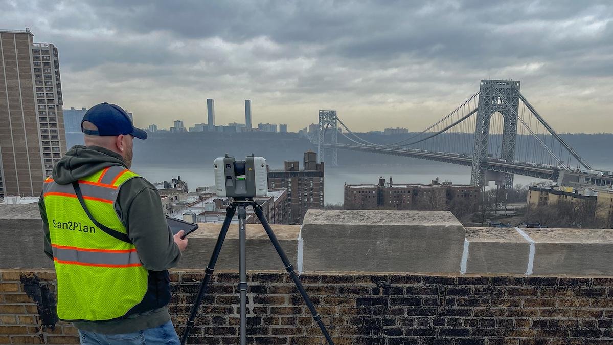
Scan2Plan Field Tech on NYC Rooftop With Terrestrial LiDAR
The Problem:
Every building in New York City needs a facade inspection every 7 years.
The most effective way to complete these inspections is with a drone, but post-9/11 New York is the most restrictive airspace in the world for drone flight.
Because of these restrictions, drone-based photogrammetry is impossible for most NYC buildings. Instead, many firms have to resort to binoculars, telescopes and even drone "suicide squads" willing to risk the criminal penalties to perform inspections.
Some desperate building owners erect purposeless scaffolding to delay inspections because the scaffolding is cheaper than paying for the survey work!

Scan2Plan Revit Model of 13-story Apartment Building in New York City
Our Solution:
Scan 2 Plan has devised a new method to take the pain out of facade surveys in NYC.
Our terrestrial LiDAR captures geospatial data a reach of over 250 feet. With roof access and some creative scanning, we're able to document buildings as high as 20 stories.
Our company has just completed facade surveys in Harlem and the Bronx of 8 large residential buildings and a historic church for Ayon Studio, a respected architecture and historic preservation firm.
See a BIM sample: https://a360.co/3JC0yWD
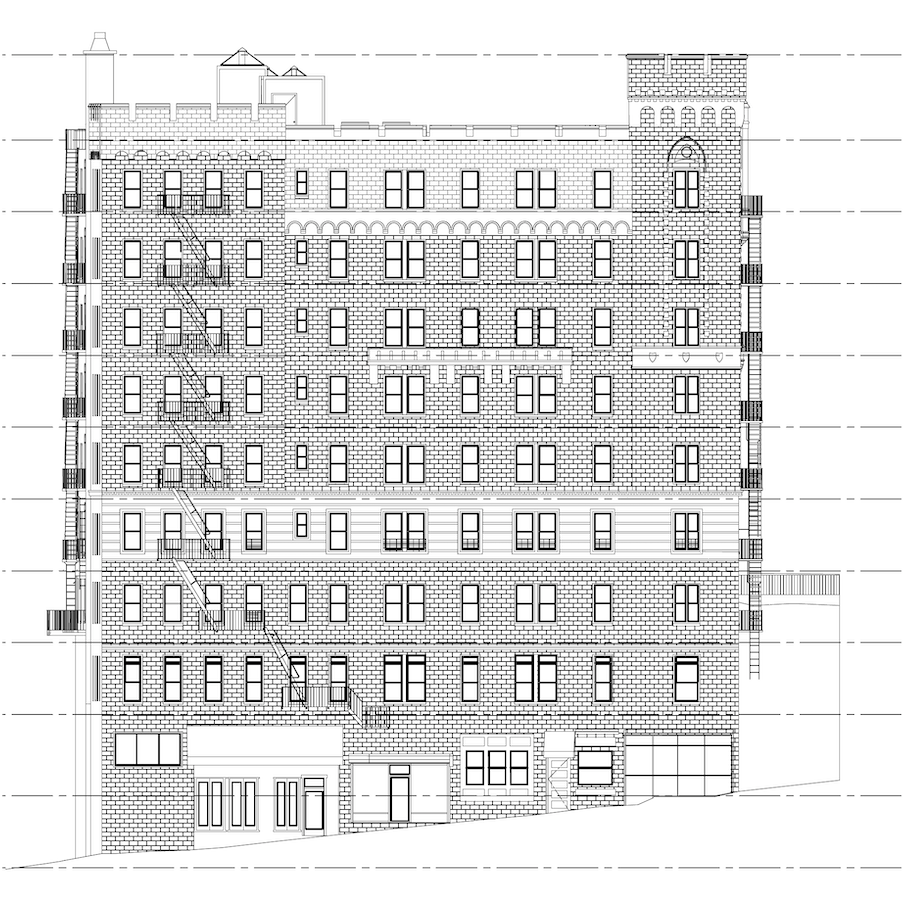
Scan2Plan CAD Elevation of NYC Apartment Building
“Scan2Plan has greatly expedited our facade inspection process. They were able to get to work right away and met our tight deadlines for a series of facade inspections at one of our projects that included more than half a dozen of historic buildings in upper Manhattan. The BIM, CAD and Point Cloud are all extremely useful for us to work efficiently and effectively, and to continue delivering for our clients”